 |
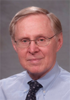
Dr Peter Staecker: We are delighted that Dr Staecker, President of IEEE, will speak at our opening ceremony. Dr Staecker took up the Presidency of the IEEE in January 2013 and brings a wealth of experience and knowledge of the global IEEE activities. Dr Staecker has a distinguished record of service to IEEE including as Vice President of IEEE Technical Activities, Director of Division IV, President of the Microwave Theory and Techniques Society, and IEEE Treasurer. He is a specialist in microwave design. He joined MIT Lincoln Laboratory in Lexington, MA in 1972. In 1986, he joined M/A-COM in Burlington MA, retiring as Director of R&D in 1998. The IEEE is the world's largest professional society with over 400,000 members. It plays a pivotal role in developing the world's next generation of technologies.
|
|
|
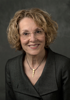 |
Professor Melba Crawford became the President of the IEEE Geoscience & Remote Sensing Society (GRSS) in January 2013. Professor Crawford is the Associate Dean for Research in the College of Engineering at Purdue University, Professor of Civil Engineering & Agronomy, Director of the Laboratory for Applications of Remote Sensing and the Chair of Excellence in Earth Observation. Professor Crawford has a long and distinguished record of service to the GRSS and will tell us about many exciting developments taking place across our Society.
|
|
|
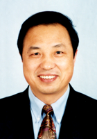 |
Professor Guo Huadong is Director-General of the Institute of Remote Sensing and Digital Earth (RADI) created from the recent merger of the Centre for Earth Observation and Digital Earth (CEODE) and the Institute of Remote Sensing Applications (IRSA) both of the Chinese Academy of Sciences (CAS). Professor Guo is an Academician of the Chinese Academy of Sciences, Fellow of the Academy of Sciences for the Developing World (TWAS), President of ICSU/CODATA, and Editor-in-Chief of the International Journal for Digital Earth. He has over 30 years' experience in remote sensing applications, specialising in radar and has published over 300 papers and 15 books. Professor Guo will highlight the latest developments in geoscience and remote sensing in the China and Asia-Pacific region.
|
|
|
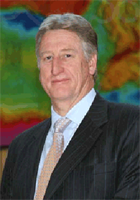 |
Dr Chris Pigram is Chief Executive Officer of Geoscience Australia. Geoscience Australia is a world leader in providing first class geoscientific information and knowledge enabling the Australian government to make informed decisions about the use and management of resources, the environment, community wellbeing and sustainable energy. Dr Pigram has over 30 years of experience in a wide range of geological research and mapping and has co-authored over 90 publications. He has served on the Australian National Committee for Earth Sciences and is currently the Australian Government representative on the Australian New Zealand Land Information Council. Dr Pigram's talk will crystallize the latest Australian developments in geoscience and remote sensing.
|
|
|
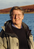 |
Professor Mike Goodchild is Emeritus Professor of Geography at the University of California Santa Barbara. He is a Member of the US National Academy of Sciences and a Foreign Member of the Royal Society of Canada, a Foreign Member of the Royal Society and Corresponding Fellow of the British Academy. Professor Goodchild serves on the Editorial Boards of ten journals and book series and has published 15 books and over 500 articles. He is one of the world's pre-eminent thinkers in geographic information sciences and their role in supporting so many other aspects of scientific development. Professor Goodchild will challenge us with his thoughts on the relationship between remote sensing and the broader GIS communities.
|
|
|
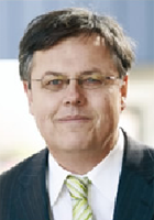 |
Dr Rob Vertessy is Director of the Australian Bureau of Meteorology. Dr Vertessy has more than 25 years' experience as a senior water scientist and leading researcher including leading the expansion of the Bureau's role in providing the hydrological information central to the delivery of Australian national water reform. Dr Vertessy has previously been the Chief of the CSIRO Land & Water Division and Director of the Cooperative Research Centre for Catchment Hydrology. The Bureau of Meteorology is Australia's national weather, climate and water agency. Its expertise and services assist Australians in dealing with the harsh realities of their natural environment, including drought, floods, fires, storms, tsunami and tropical cyclones. Through regular forecasts, warnings, monitoring and advice spanning the Australian region and Antarctic territory, the Bureau provides one of the most fundamental and widely used services of the Australian government. Dr Vertessy is currently leading a number of ground-breaking initiatives in the use of remote sensing and value-added spatial and information products systems and will speak about these at the Opening Ceremony.
|


 IGARSS13
 @IGARSS2013